The Supervisory Board of GAF AG, an e-GEOS S.p.A. (a 80/20% joint venture between Telespazio and the Italian Space Agency) company located in Munich and Neustrelitz, Germany – embedded in […]
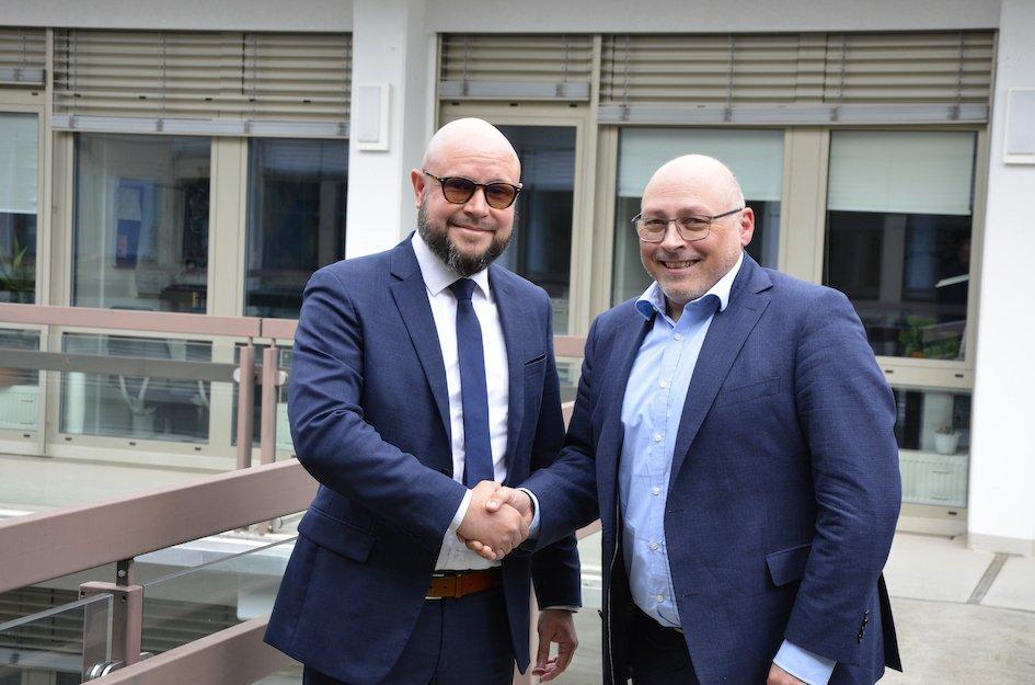

The Supervisory Board of GAF AG, an e-GEOS S.p.A. (a 80/20% joint venture between Telespazio and the Italian Space Agency) company located in Munich and Neustrelitz, Germany – embedded in […]
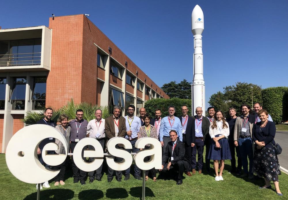
GAF AG, an e-GEOS S.p.A. (Telespazio S.p.A./ASI) company, has been entrusted by the European Space Agency (ESA) with the task of setting up and operating the Copernicus Contributing Missions (CCM) […]
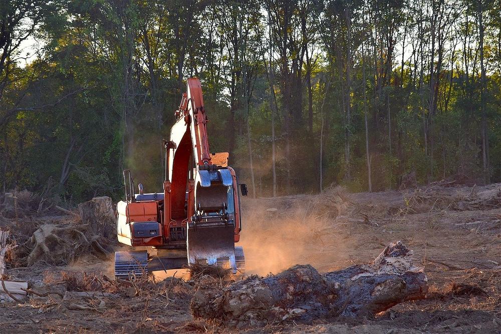
The project, with a duration of 24 months, focuses on the EUs Deforestation Free Supply Chain Regulation (EUDR). The objective is to support EU Member States in verifying that imported […]
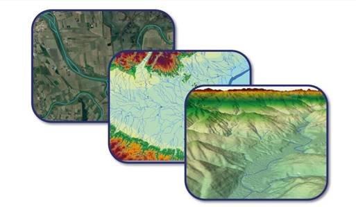
The Copernicus Land Monitoring Service (CLMS) framework contract for upgrading the pan-European hydrological reference dataset EU-Hydro has now kicked off. The aim with the EU-Hydro suite of products is to […]
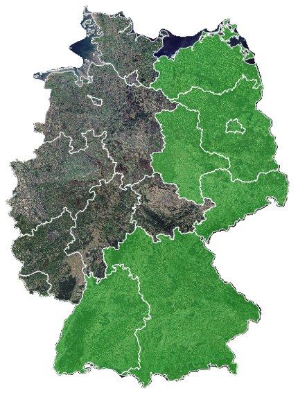
As part of the European Common Agricultural Policy (CAP), GAF AG, an e-GEOS (Telespazio/ASI) company, has been awarded a multi-year framework contract for the automated analysis of satellite data for […]
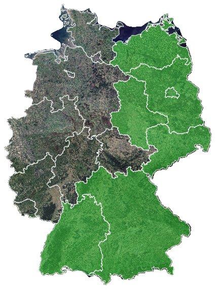
Die GAF AG, ein e-GEOS (Telespazio/ASI) Unternehmen, hat den Zuschlag für einen Rahmenvertrag zur hochautomatisierten Auswertung von Satellitendaten hinsichtlich der Überwachung sämtlicher landwirtschaftlicher Flächen im Freistaat Bayern im Rahmen der […]
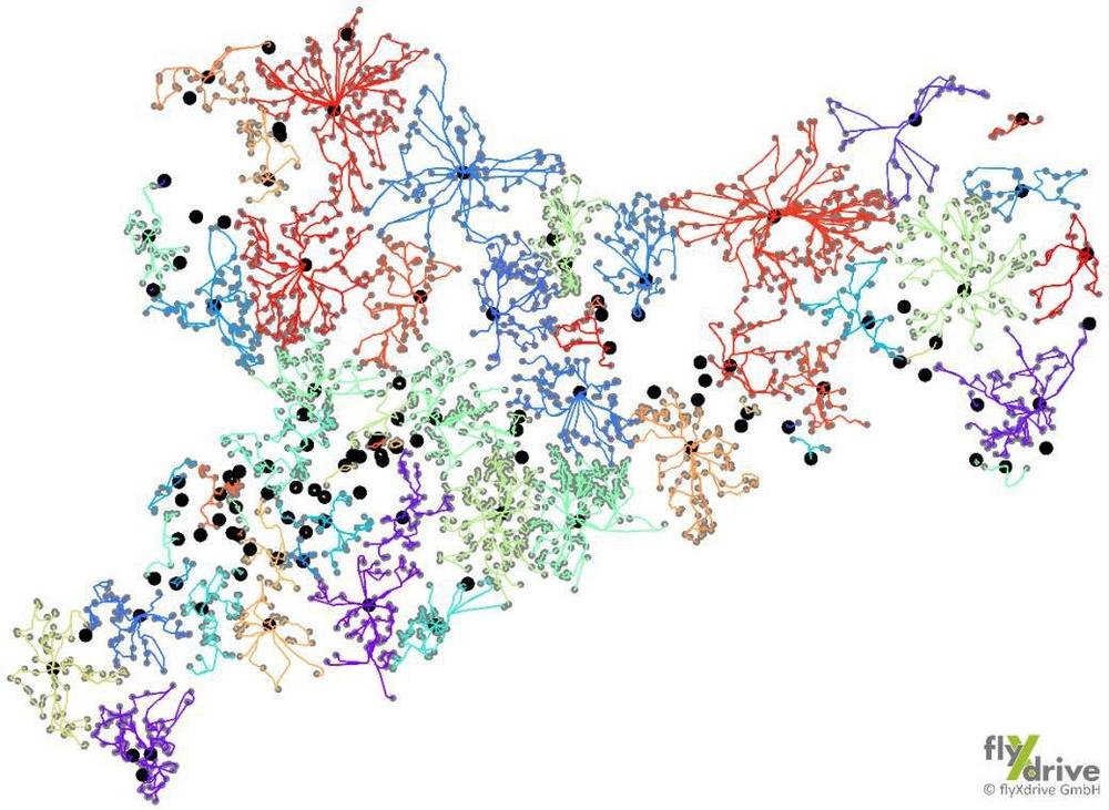
Einzigartige Kartierung landwirtschaftlicher Nutzflächen in Sachsen durch cloudbasierte KI-Lösung AgroCrop® der GAF AG zusammen mit den Drohnenexperten von flyXdrive GmbH im Rahmen der Gemeinsamen Agrarpolitik (GAP) der EU. Der GAF […]
The European Environment Agency (EEA) has awarded an international consortium led by GAF AG with partners GeoVille, e-GEOS and Telespazio Ibérica, with the production of the updates of the CLC+ […]
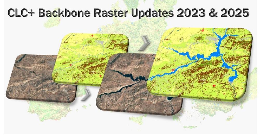
The European Environment Agency (EEA) has awarded an international consortium led by GAF AG with partners GeoVille, e-GEOS and Telespazio Ibérica, with the production of the updates of the CLC+ […]
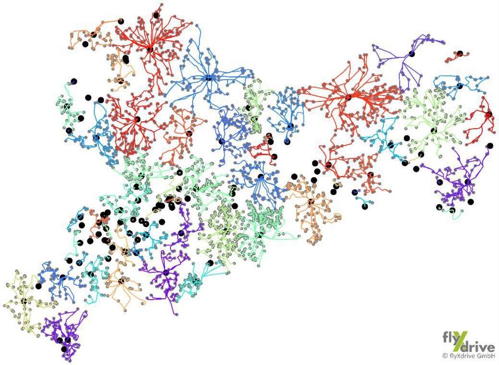
Einzigartige Kartierung landwirtschaftlicher Nutzflächen in Sachsen durch cloudbasierte KI-Lösung AgroCrop® der GAF AG zusammen mit den Drohnenexperten von flyXdrive GmbH im Rahmen der Gemeinsamen Agrarpolitik (GAP) der EU. Der GAF […]